Octave Imagine 원격 감지 소프트웨어
기존 ERDAS IMAGINE. 지리 영상 전문가가 지리공간 데이터 처리를 효과적으로 수행하는 데 필요한 도구를 제공하도록 특수 목적으로 설계되었습니다.
데이터가 인사이트가 되고, 인사이트가 실질적인 성과로 이어지는 곳.
더 빠른 결과를 만나보세요
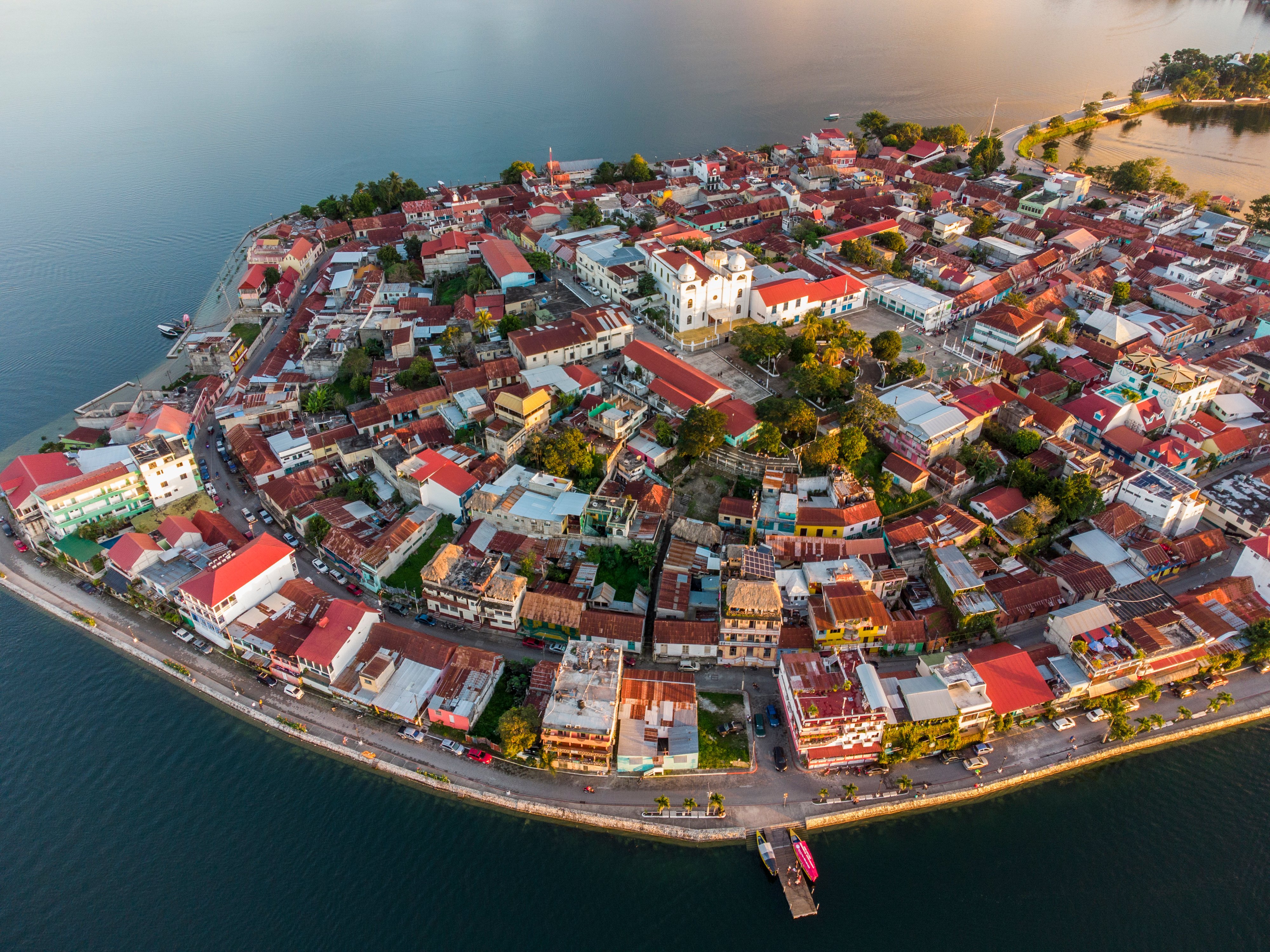
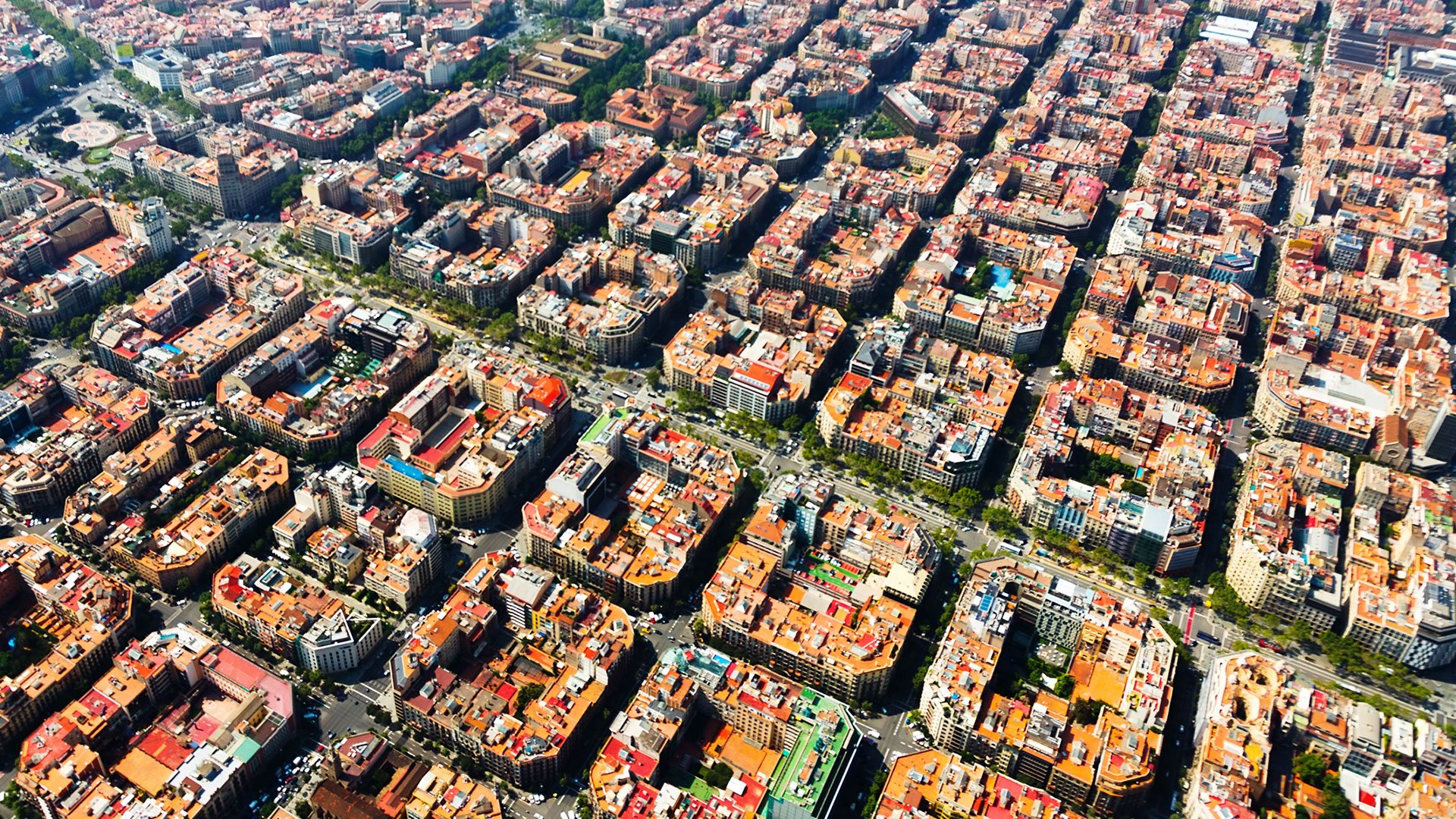
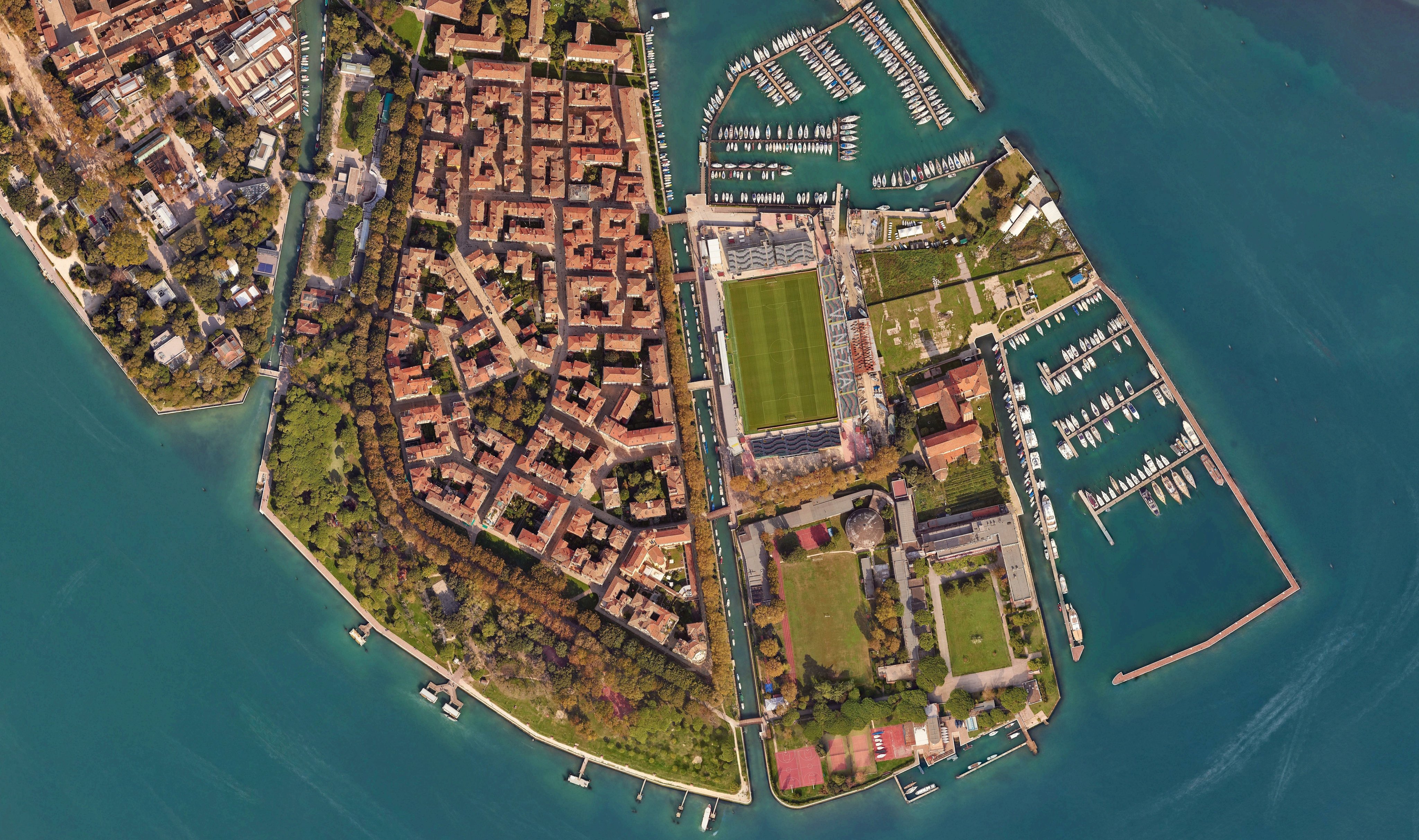
Imagine(기존 ERDAS IMAGINE)과 함께라면 원격 탐사가 실질적인 성과로 이어집니다. 영상을 인사이트로 전환하세요. 복잡한 지리공간 데이터를 넘어 더 빠르고 정밀하게 확신 있는 의사결정을 내리세요. 현업 전문가의 요구를 충족하도록 설계된 Imagine은 고급 영상 처리, 분석 및 시각화 도구를 하나의 강력한 플랫폼으로 통합합니다.
광범위한 분석 및 자동화 기능
Robust image processing capabilities
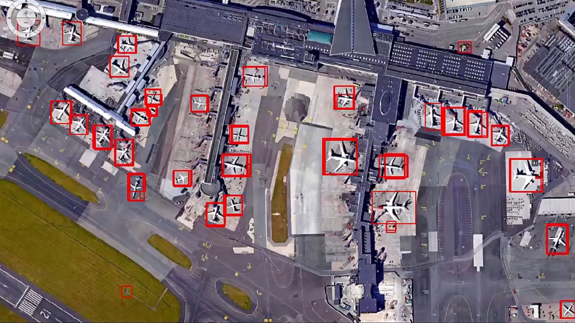
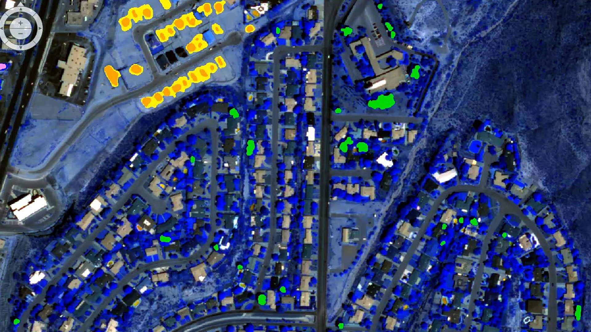
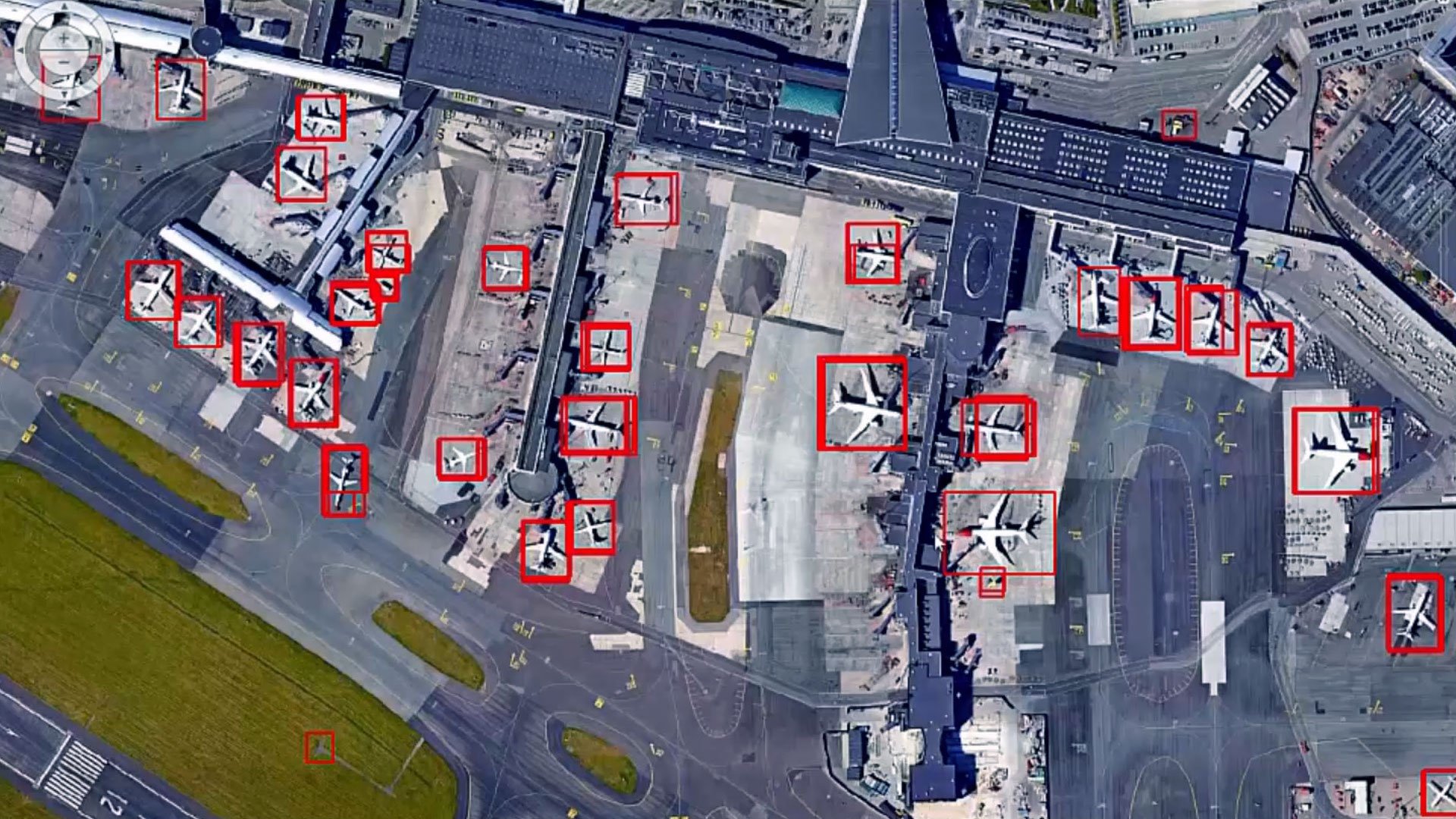
Access a powerful suite of image processing tools, featuring advanced algorithms for image classification, change detection and object-based image analysis.
Powerful geospatial analysis
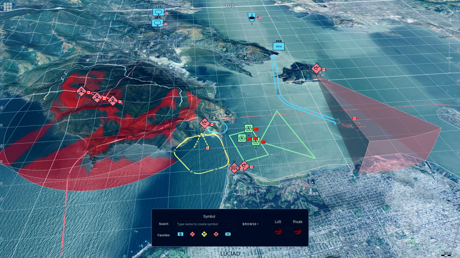
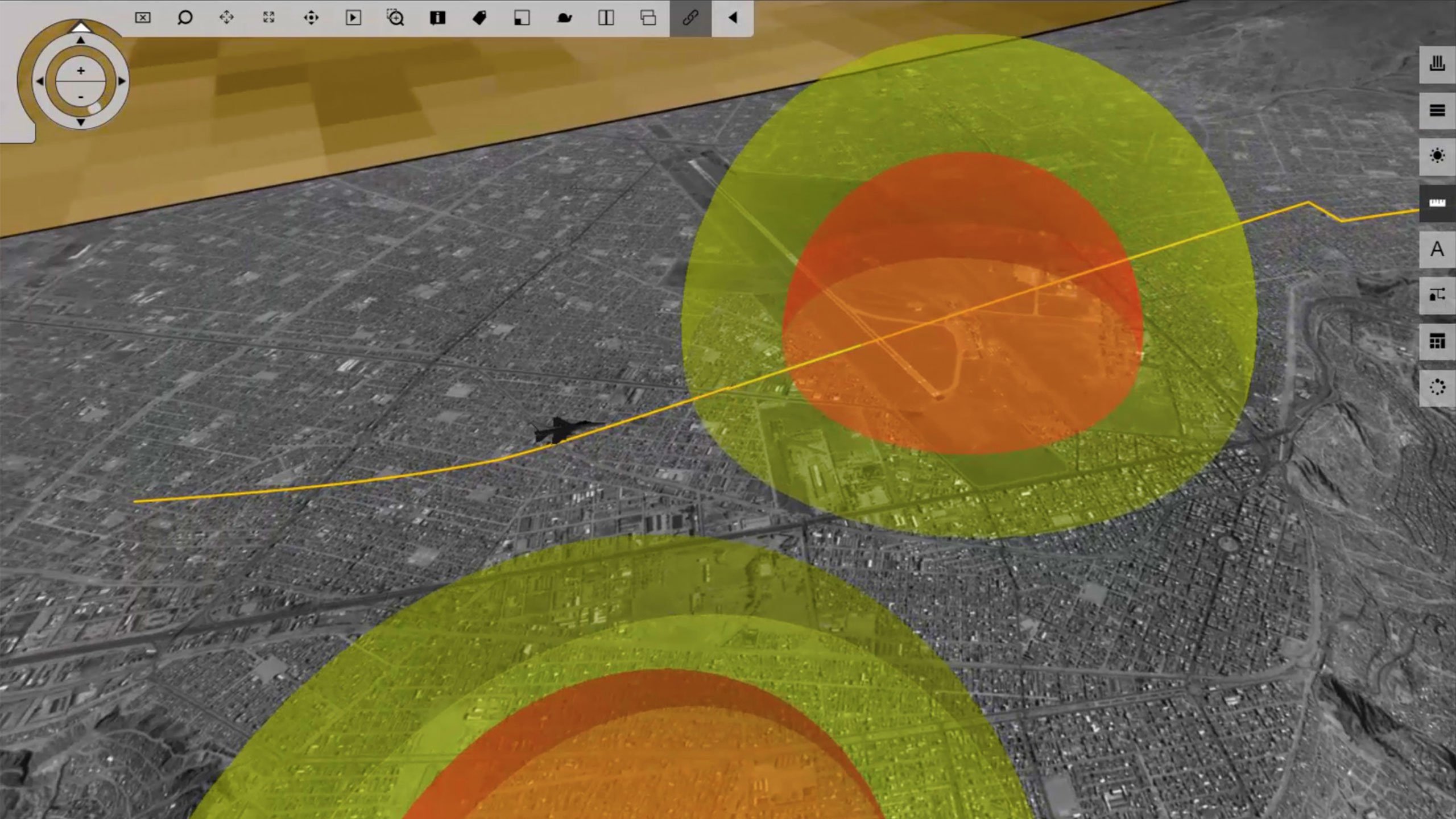
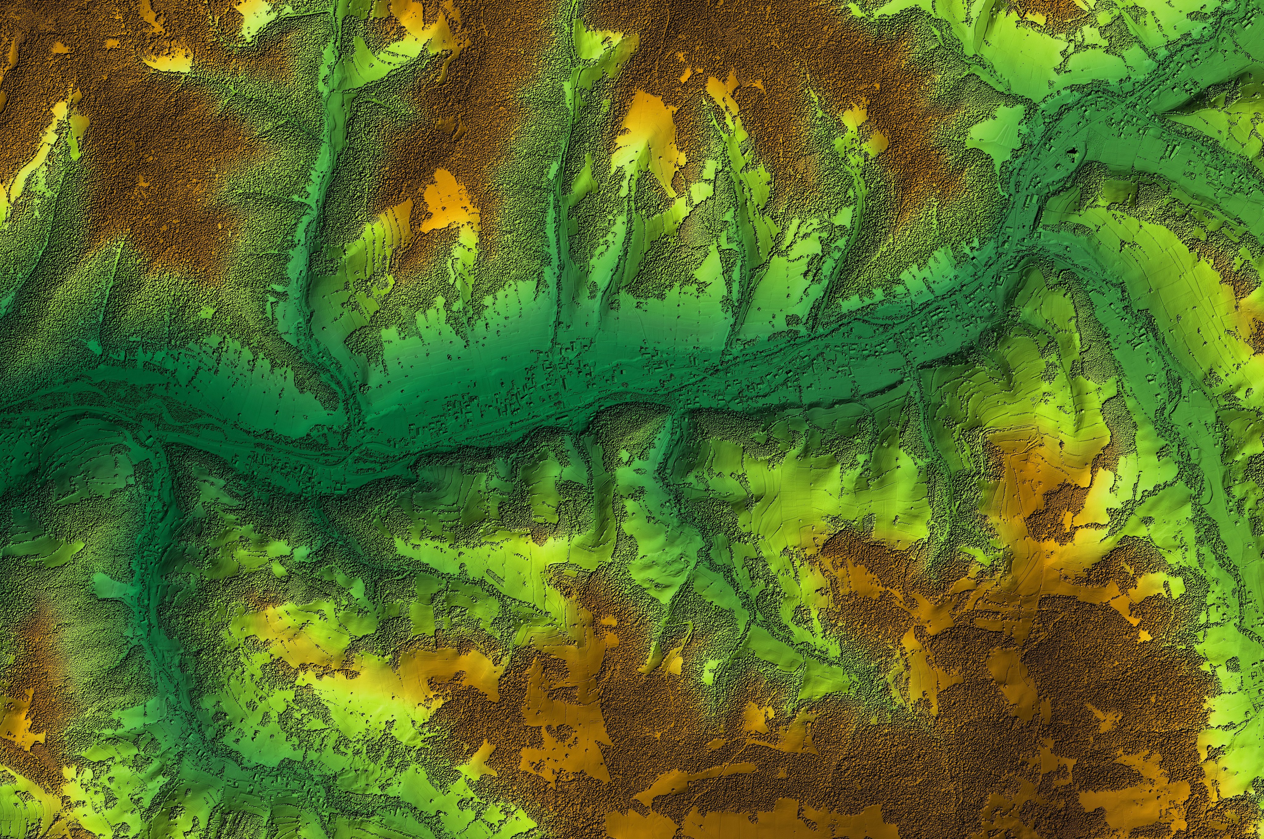
Unlock a versatile set of geospatial analysis tools designed for terrain analysis, surface modeling and immersive 3D visualization.
Efficient workflows
Enhance productivity and save time with the software's intuitive interface and automation capabilities, streamlining your workflows effortlessly.
Extensive support for diverse data formats
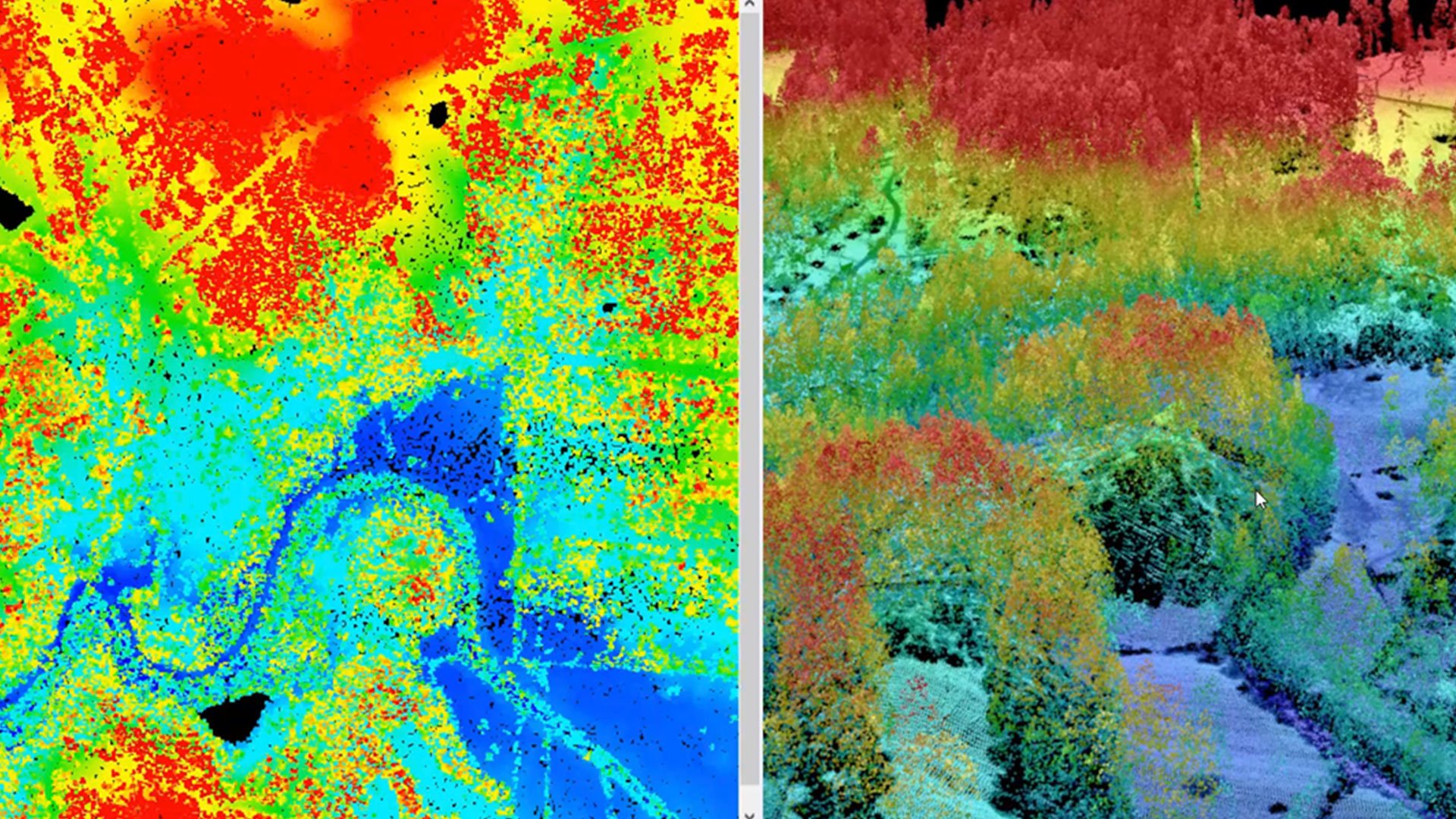
Work with a wide variety of data formats, including satellite imagery, aerial photography, LiDAR and more.

Active community and support
Benefit from a robust community of users and Octave's dedicated support team, offering invaluable resources and assistance.
Interoperability with other Octave products
Imagine integrates seamlessly with other Octave geospatial products, delivering a comprehensive and efficient geospatial workflow.
Explore the Imagine portfolio
Imagine is the world’s most widely used remote sensing software. Multiple add-ons are available. The portfolio includes solutions like Octave Imagine Web for imagery exploitation in defence; Octave Pro600 for production mapping optimization; Octave ECW Compression and Octave GeoCompressor for advanced image and point cloud compression; and Octave Spatial Modeler for no-code geospatial workflows with AI and automation.
Extend Imagine with add-ons
Tailor Imagine to your workflows with proven add-ons. From high-accuracy photogrammetry and dense surface extraction to radar analytics, 3D visualization and lowcode automation, each module plugs in seamlessly so you deliver results faster; without switching tools or rebuilding data flows.
Imagine Photogrammetry 영상 데이터에 빠르고 정확한 삼각측량과 매끄러운 정사영상 결과물을 제공합니다.
Imagine의 목표 귀하의 이미지에서 건물, 도로, 초목과 같은 특징을 자동으로 식별하고 추출합니다.
Imagine SAR Interferometry 다중 시간대 레이더 영상을 통해 정밀한 고도와 지표면 이동 데이터를 추출합니다.
Imagine SAR 특징 추출 레이더 데이터에서 특징과 정보를 자동으로 추출합니다.
Imagine DSM Extractor 자동화된 검사 및 보고서를 통해 조밀하고 정확한 DSM 및 DTM을 생성합니다.
Imagine MrSID Encoders 대용량 영상 파일을 고품질 MrSID 형식으로 압축하여 빠르게 조회하고 쉽게 저장할 수 있습니다.
The Imagine Expansion Pack 3D 뷰, NITF 도구, 스테레오 캡처, 등록 및 레이더 처리 기능을 추가합니다.
Imagine Terrain Editor 3D 환경에서 디지털 고도 모델을 직접 편집하고 다듬을 수 있는 인터랙티브 툴을 제공합니다.
Spatial Modeler SDK 맞춤형 연산자, 자동화 및 AI 기반 모델링으로 Imagine을 확장합니다.
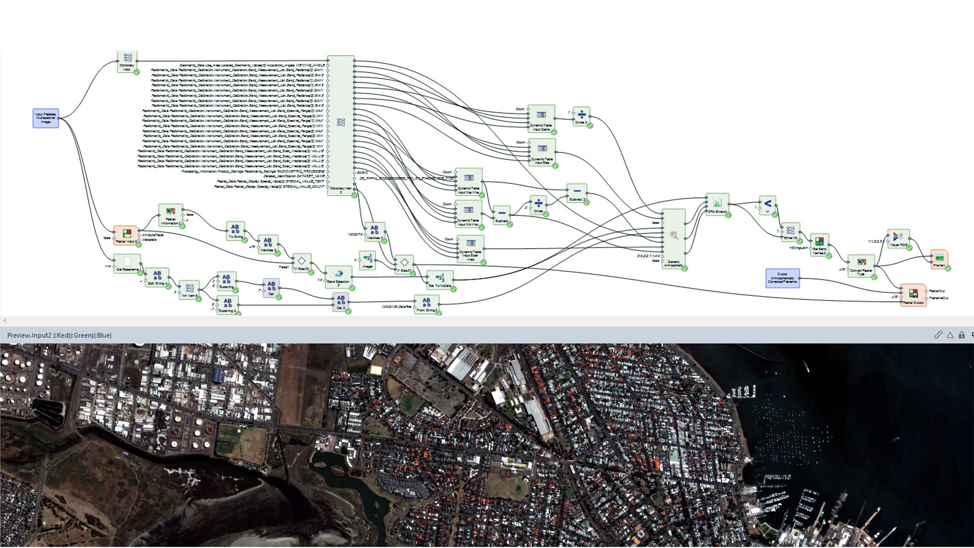
ATCOR workflow for Imagine corrects atmospheric effects and haze to reveal true surface reflectance in satellite imagery.
Imagine Engine 집약적인 작업을 여러 코어와 워크스테이션에 분산하여 처리 능력을 확장합니다.
고객 성공 사례
엔터프라이즈 고도화
We're here to help
Get the help you need with direct access to support and resources.