Software di telerilevamento Octave Imagine
Precedentemente ERDAS IMAGINE. Specificamente progettato per fornire ai professionisti dell'imaging geografico gli strumenti necessari per l'elaborazione dei dati geospaziali.
Dove i dati diventano conoscenza e la conoscenza produce risultati concreti.
Risultati rapidi in arrivo
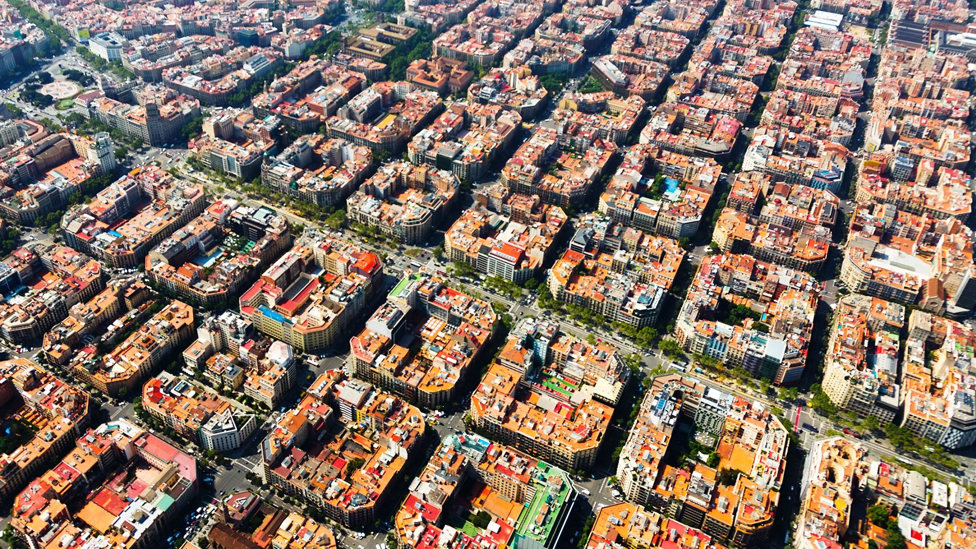
Con Imagine (precedentemente noto come ERDAS IMAGINE), il telerilevamento genera risultati. Trasforma le immagini in conoscenza. Prendi decisioni affidabili grazie a dati geospaziali complessi, più velocemente e con maggiore precisione. Progettato per soddisfare le esigenze dei professionisti moderni, Imagine combina strumenti avanzati di elaborazione, analisi e visualizzazione delle immagini in un'unica potente piattaforma.
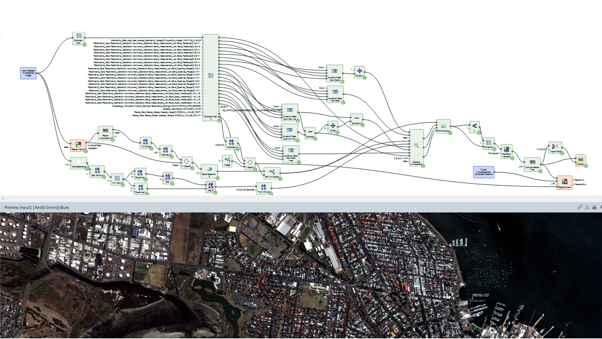
Ampie capacità di analisi e automazione
Robust image processing capabilities
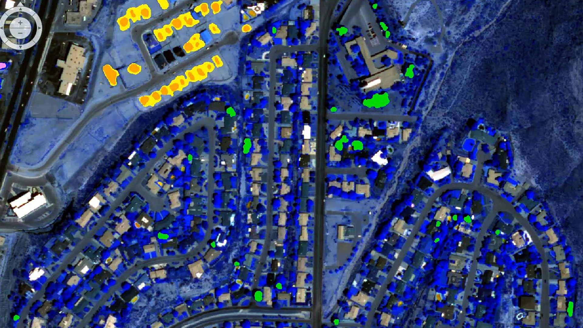
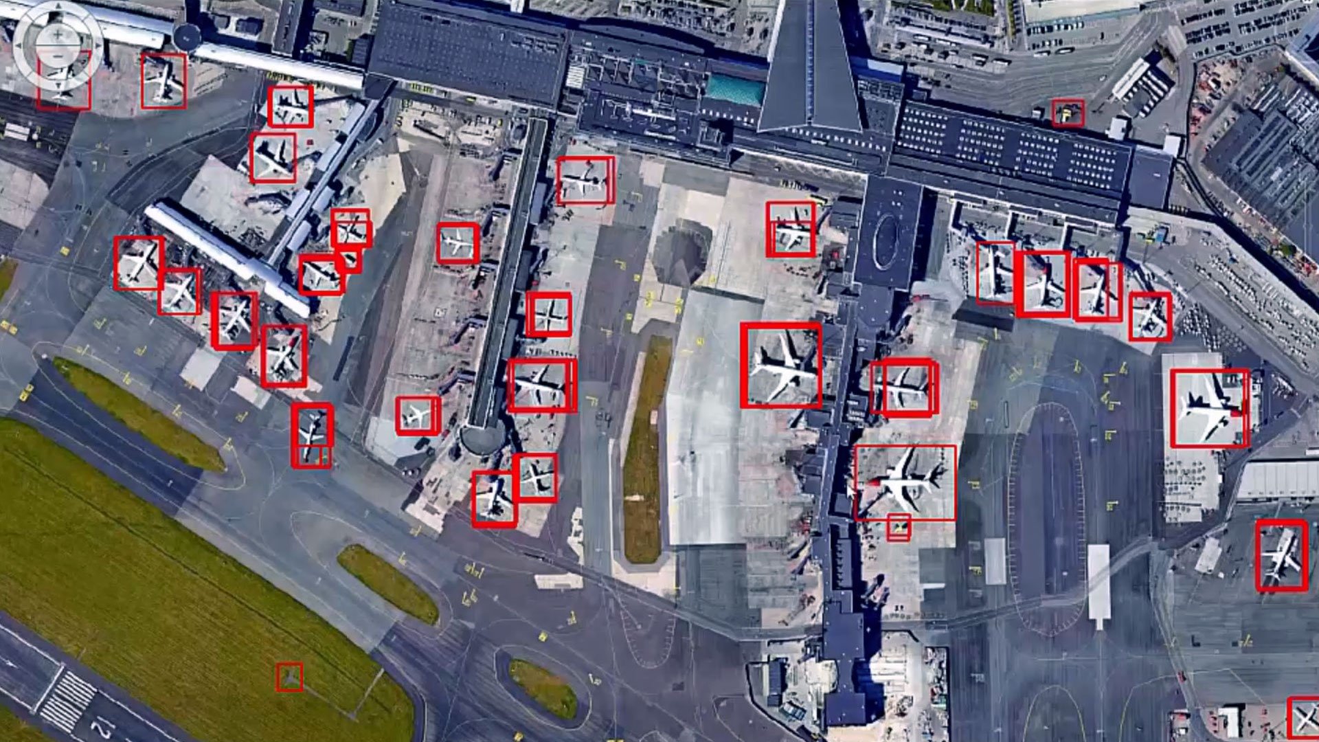
Access a powerful suite of image processing tools, featuring advanced algorithms for image classification, change detection and object-based image analysis.
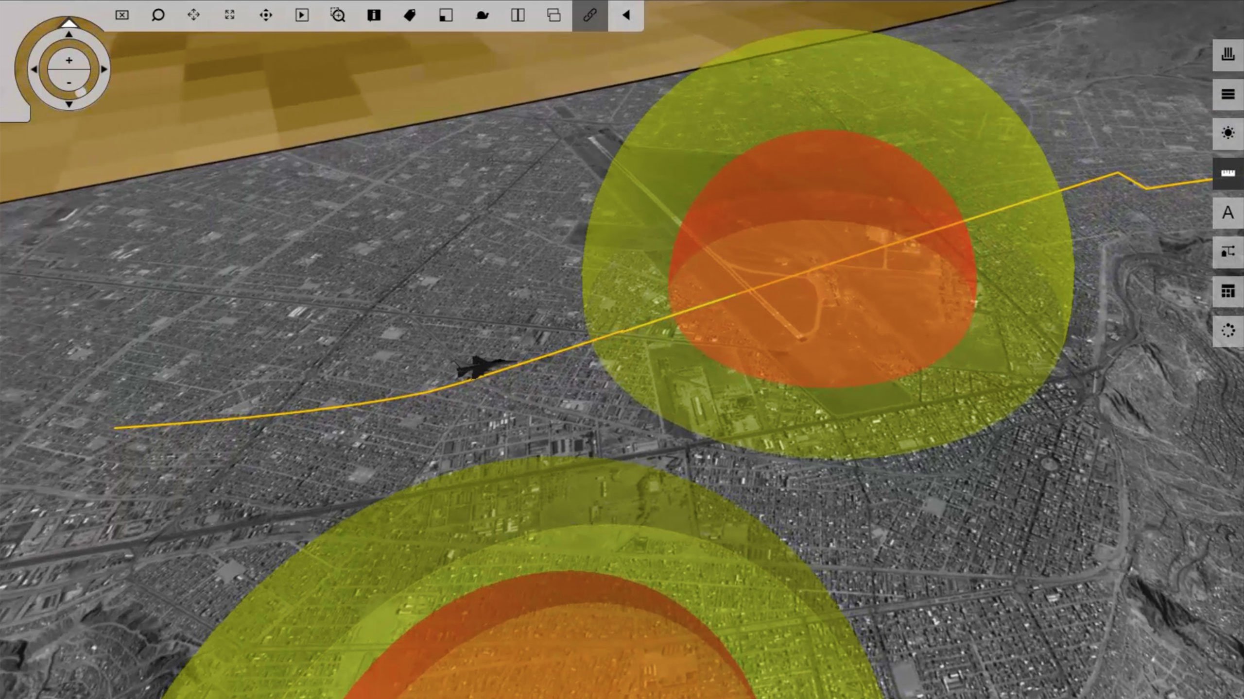
Powerful geospatial analysis
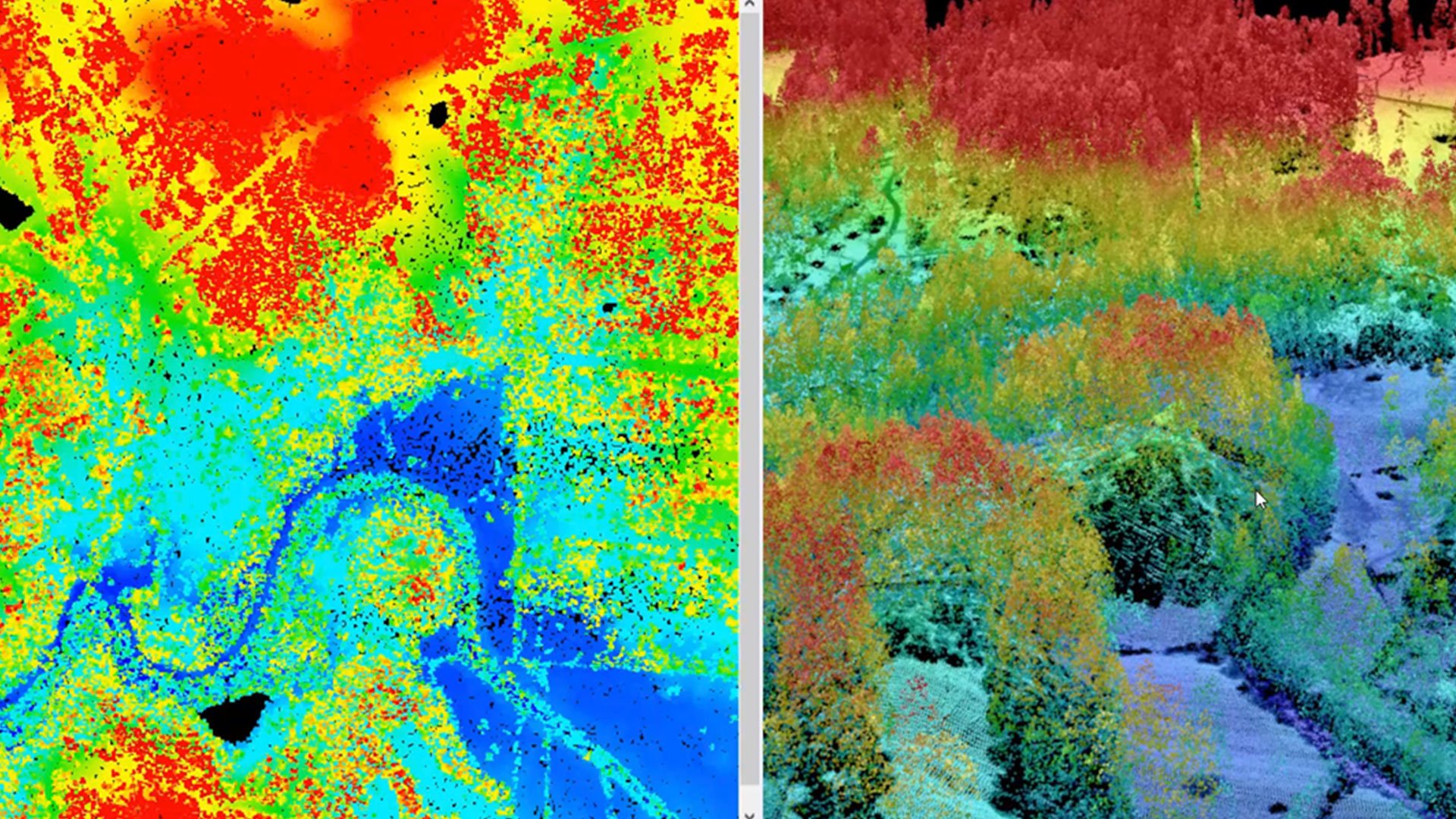
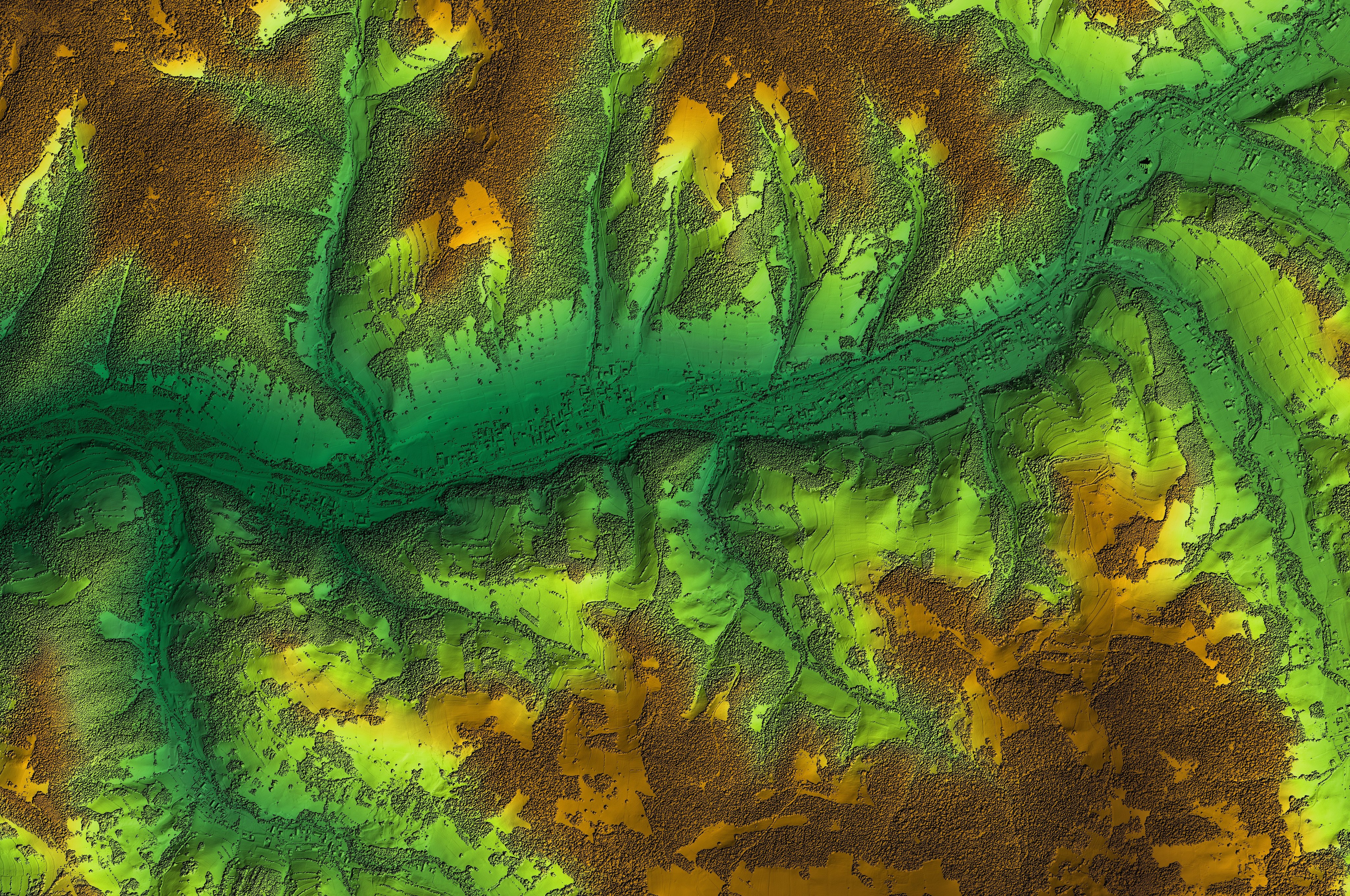
Unlock a versatile set of geospatial analysis tools designed for terrain analysis, surface modeling and immersive 3D visualization.
Efficient workflows
Enhance productivity and save time with the software's intuitive interface and automation capabilities, streamlining your workflows effortlessly.
Extensive support for diverse data formats
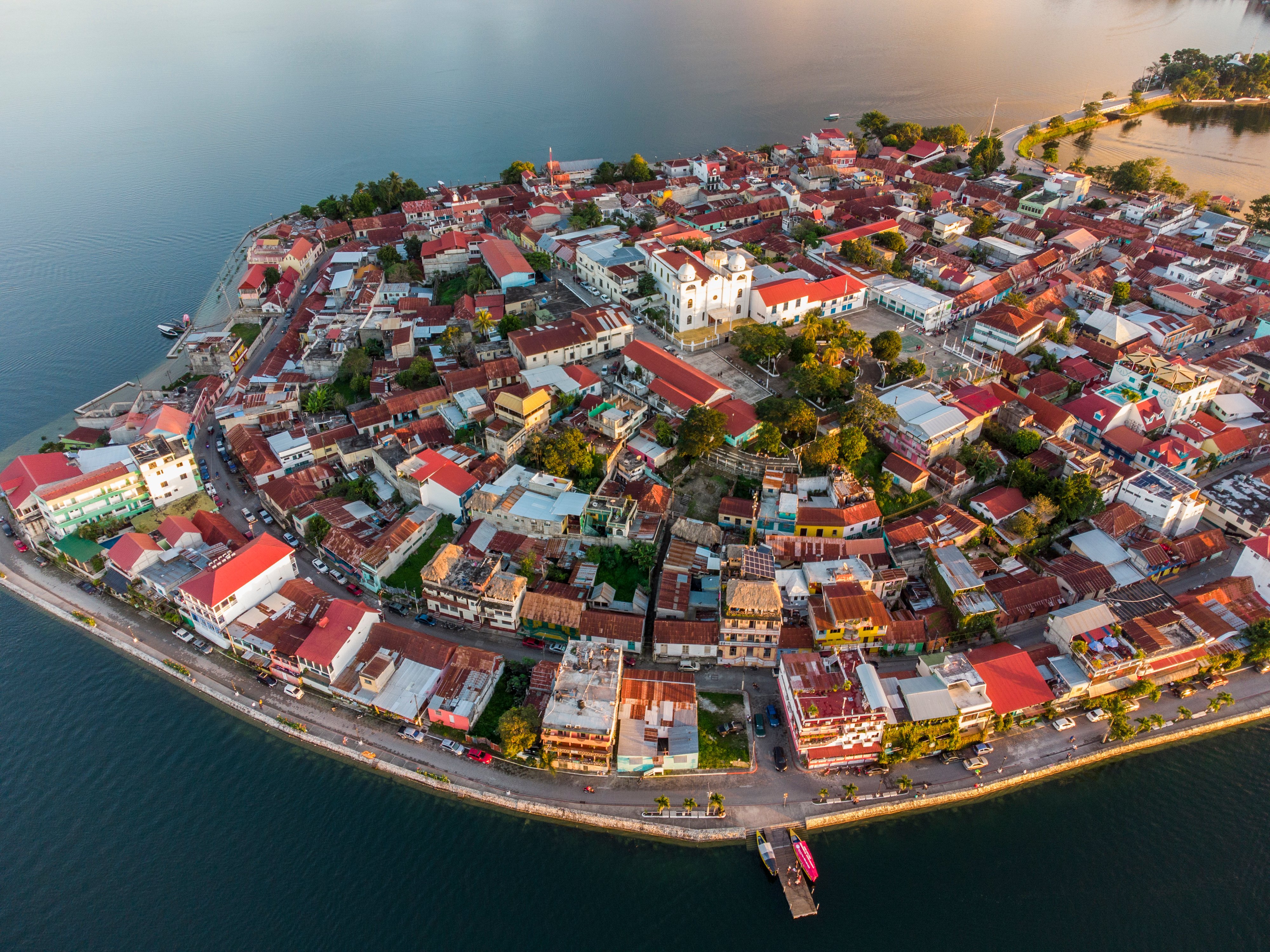
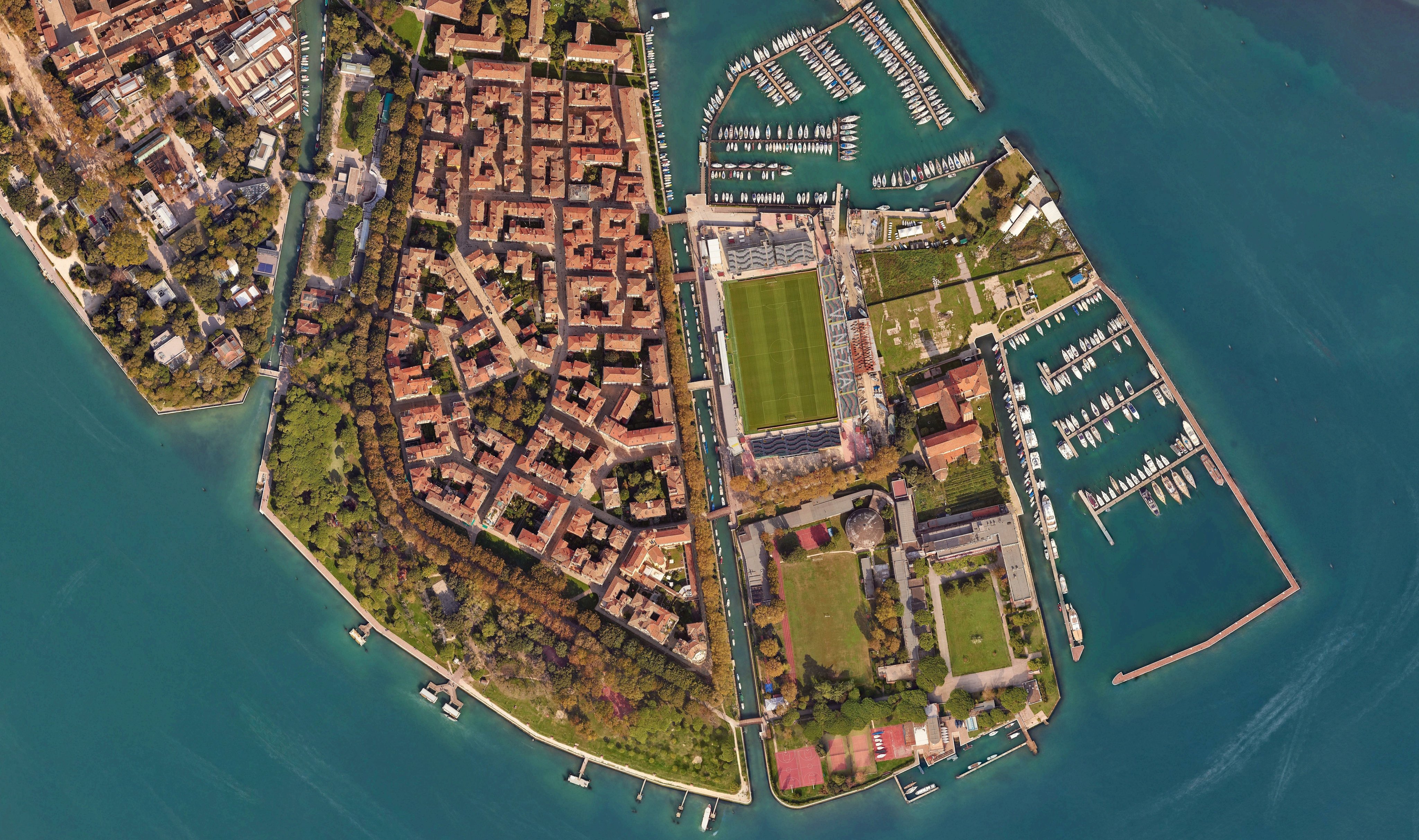
Work with a wide variety of data formats, including satellite imagery, aerial photography, LiDAR and more.

Active community and support
Benefit from a robust community of users and Octave's dedicated support team, offering invaluable resources and assistance.

Interoperability with other Octave products
Imagine integrates seamlessly with other Octave geospatial products, delivering a comprehensive and efficient geospatial workflow.
Explore the Imagine portfolio
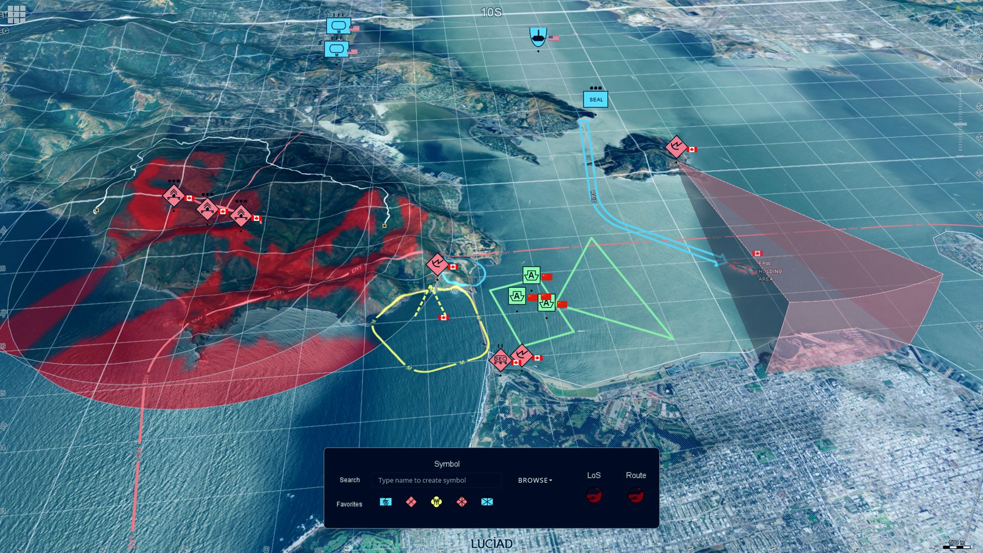
Imagine is the world’s most widely used remote sensing software. Multiple add-ons are available. The portfolio includes solutions like Octave Imagine Web for imagery exploitation in defence; Octave Pro600 for production mapping optimization; Octave ECW Compression and Octave GeoCompressor for advanced image and point cloud compression; and Octave Spatial Modeler for no-code geospatial workflows with AI and automation.
Extend Imagine with add-ons
Tailor Imagine to your workflows with proven add-ons. From high-accuracy photogrammetry and dense surface extraction to radar analytics, 3D visualization and lowcode automation, each module plugs in seamlessly so you deliver results faster; without switching tools or rebuilding data flows.
Imagine Photogrammetry offre una triangolazione rapida e accurata e risultati ortofotografici puliti per le immagini.
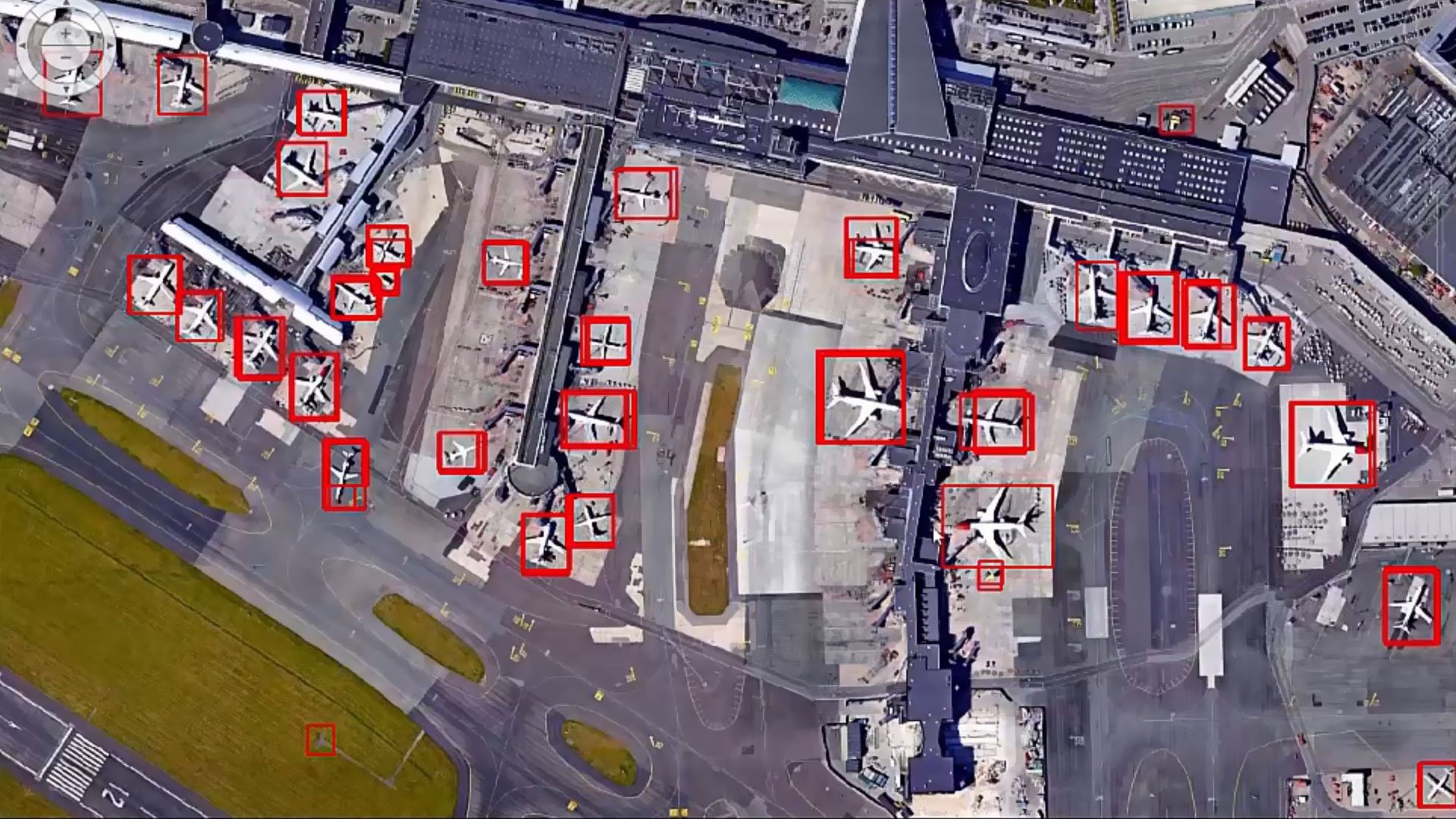
Imagine Objective identifica ed estrae automaticamente elementi come edifici, strade e vegetazione dalle tue immagini.
Imagine SAR Interferometry estrae dati precisi di elevazione e movimento superficiale da immagini radar multitemporali.
Imagine SAR Feature Extraction deriva automaticamente le caratteristiche e le informazioni dai dati radar.
Imagine DSM Extractor produce DSM e DTM densi e precisi, con controlli e report automatizzati.
Encoder Imagine MrSID comprime file di immagini di grandi dimensioni in formati MrSID di alta qualità per una visualizzazione rapida e un'archiviazione semplice.
Imagine Expansion Pack aggiunge viste 3D, strumenti per file NITF, cattura stereo, registrazione ed elaborazione dei dati radar.
Imagine Terrain Editor Fornisce strumenti interattivi per modificare e perfezionare i modelli digitali di elevazione direttamente in un ambiente 3D.
Spatial Modeler SDK espande Imagine con operatori personalizzati, automazione e modellazione basata su IA.
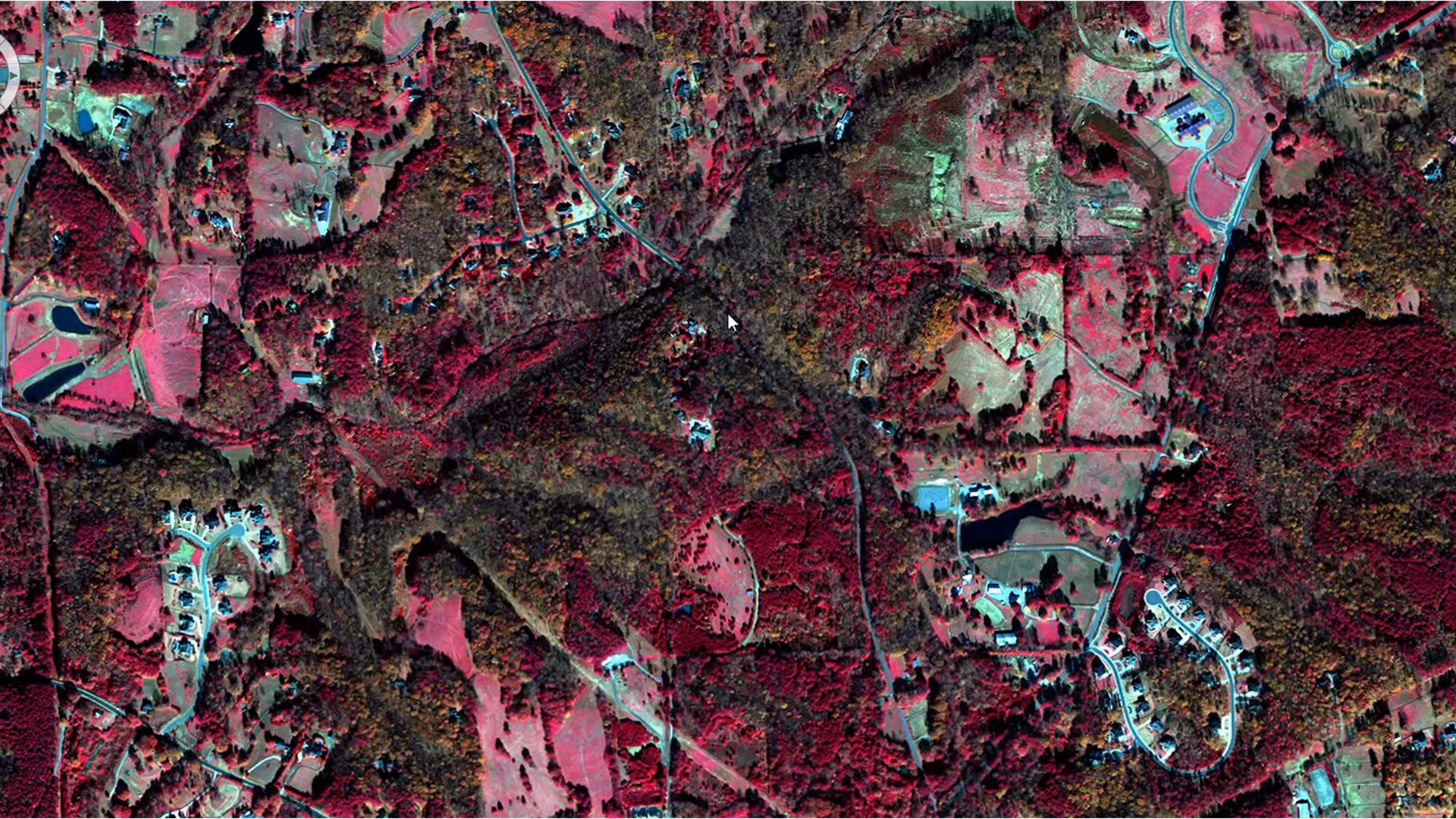
ATCOR workflow for Imagine corrects atmospheric effects and haze to reveal true surface reflectance in satellite imagery.
Imagine Engine scala la potenza di elaborazione distribuendo i compiti intensivi su più core e workstation.
Storie di successo dei clienti
Fai crescere la tua impresa

Siamo qui per aiutarti
Ottieni l'aiuto di cui hai bisogno con accesso diretto a supporto e risorse.