Octave Imagine – Fernerkundungssoftware
Octave Imagine (vormals ERDAS IMAGINE) wurde entwickelt, um Fachanwender in der geografischen Bildverarbeitung mit leistungsfähigen Werkzeugen zur effizienten Verarbeitung raumbezogener Daten zu unterstützen.
Von Daten zu Erkenntnissen. Von Erkenntnissen zu Wirkung.
Der schnellere Weg zum Ergebnis
Mit Imagine (ehemals ERDAS IMAGINE) liefert Fernerkundung greifbare Ergebnisse. Verwandeln Sie Bilddaten in nutzbare Erkenntnisse und gelangen Sie schneller von komplexen Geodaten zu fundierten Entscheidungen. Entwickelt für die spezifischen Anforderungen von Fachanwendern vereint Imagine fortschrittliche Werkzeuge zur Bildverarbeitung, Analyse und Visualisierung in einer leistungsstarken, integrierten Plattform.
Umfassende Analyse- und Automatisierungsfunktionen
Robust image processing capabilities
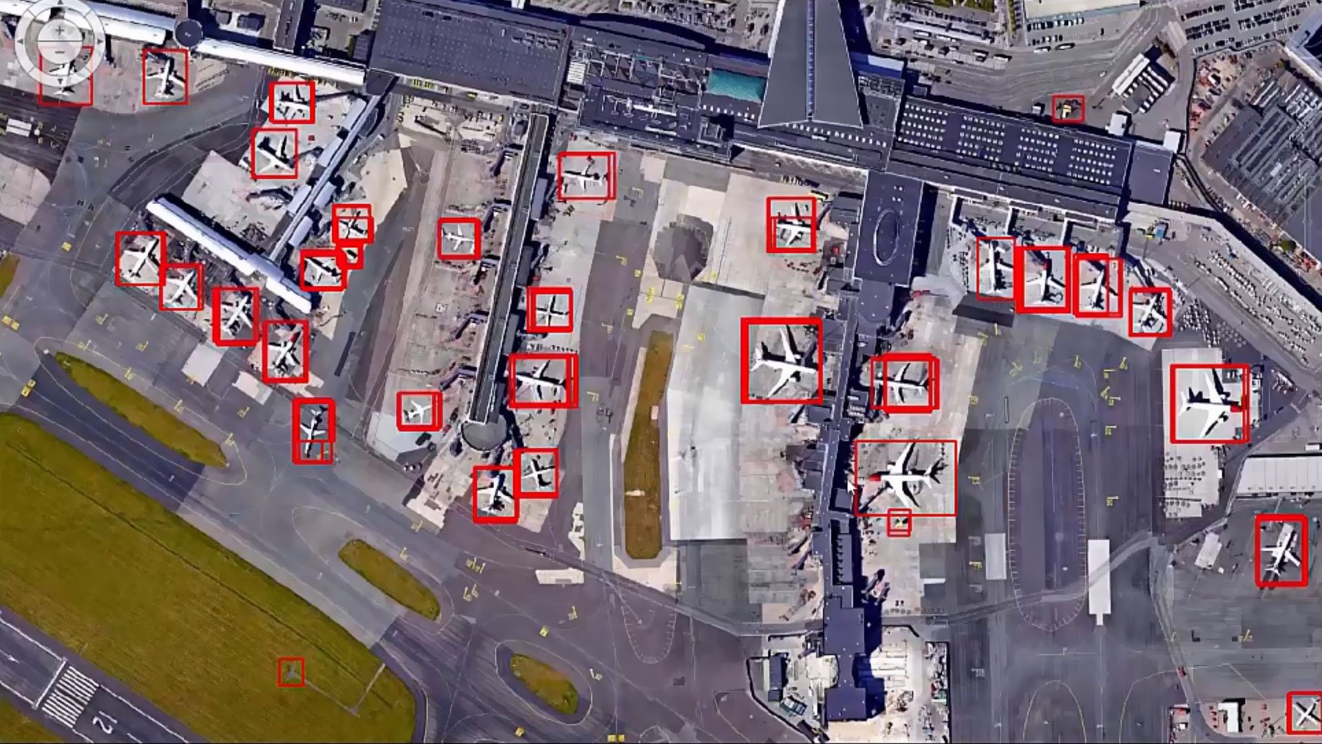
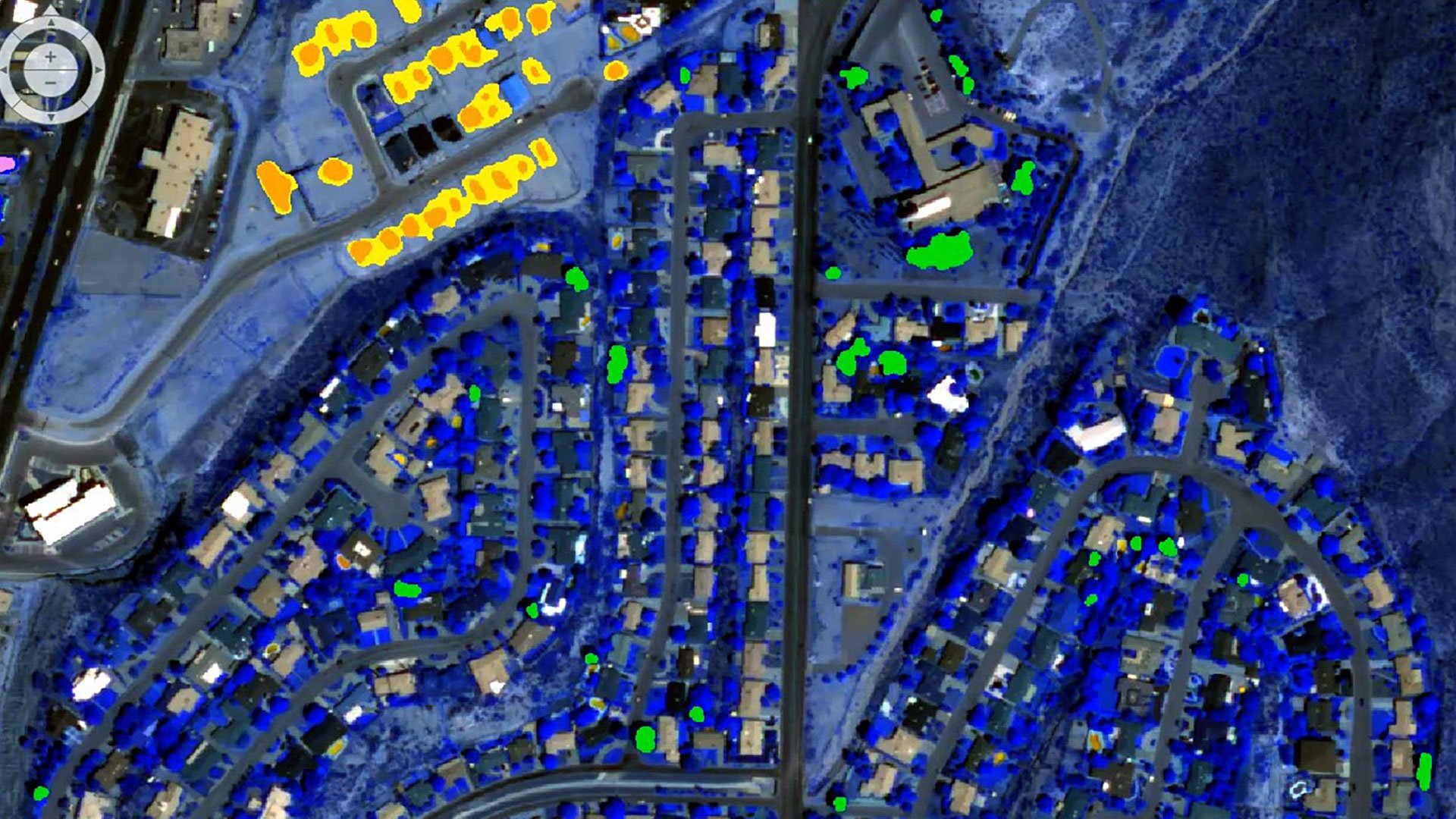
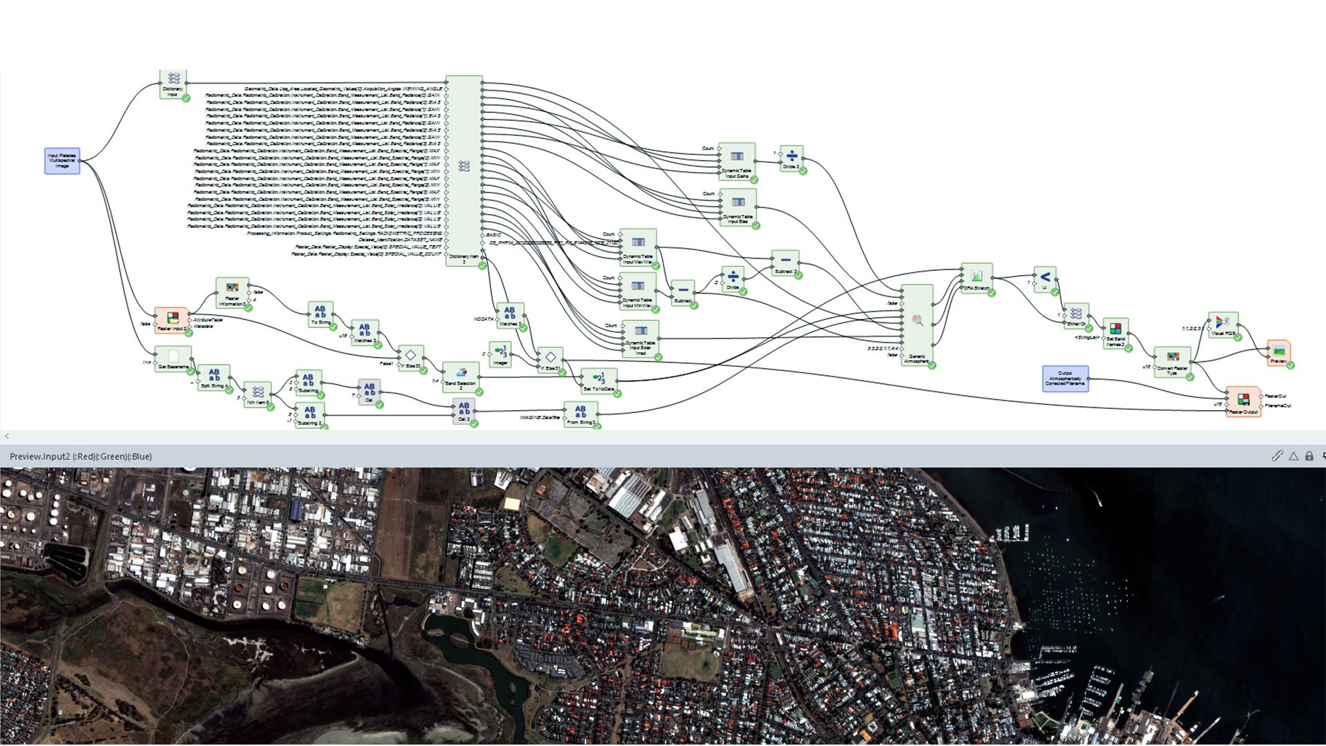
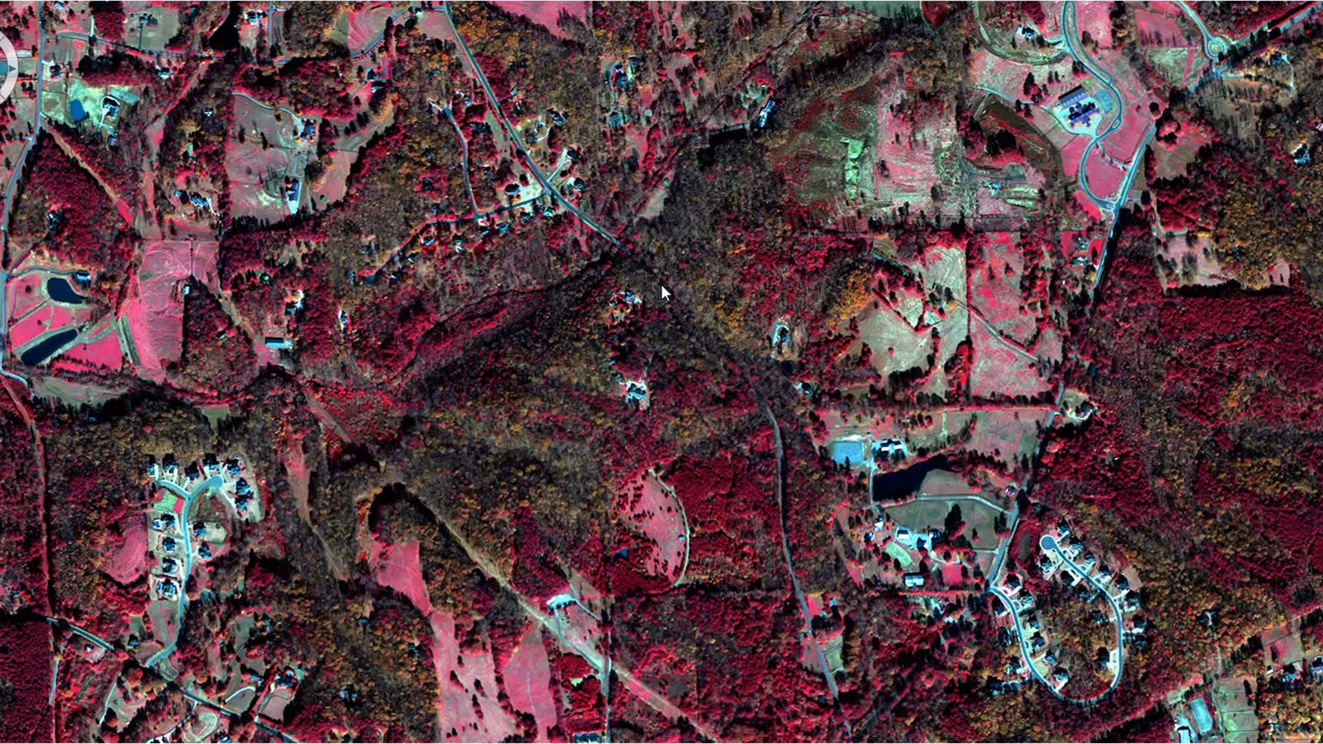
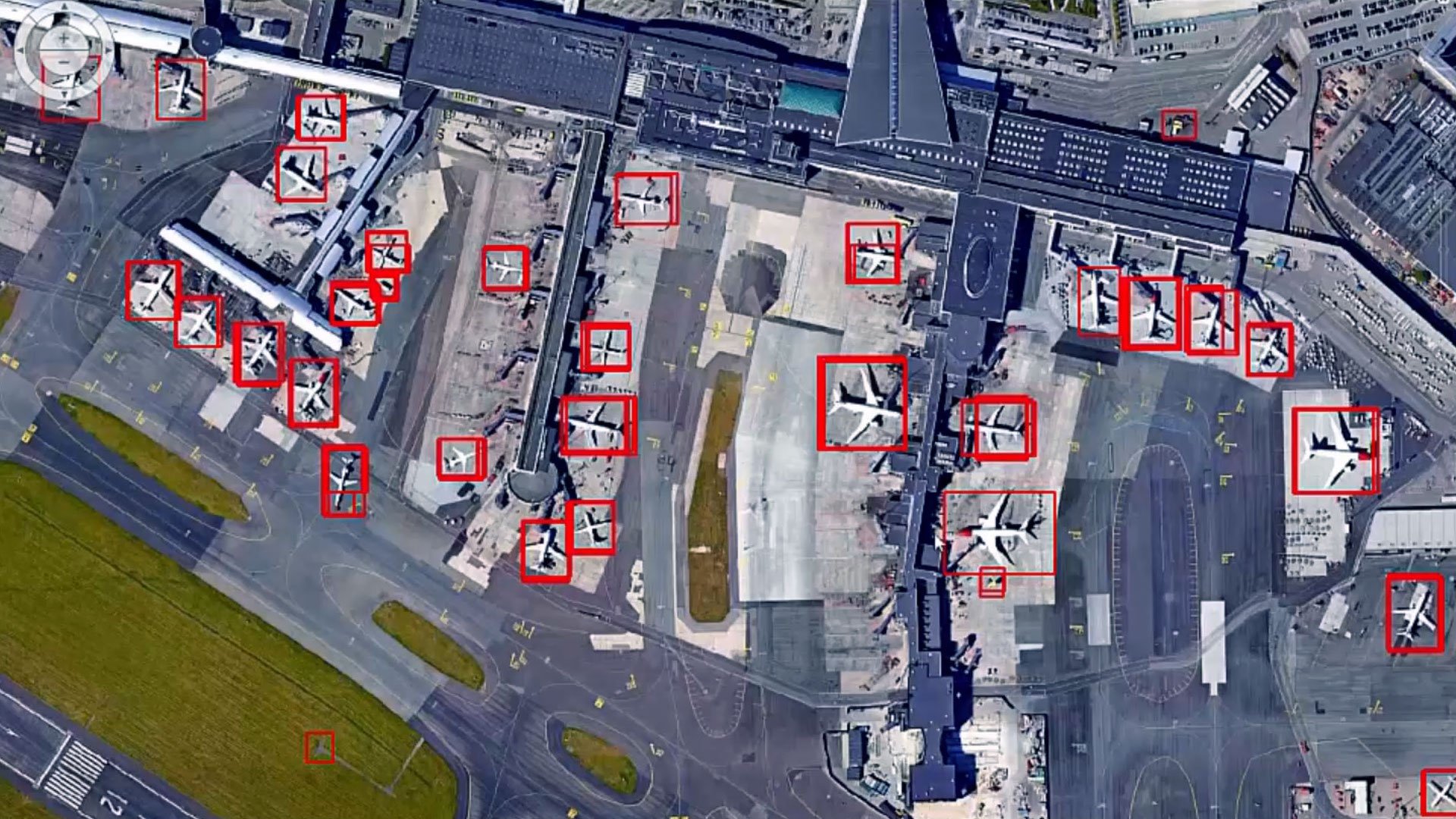
Access a powerful suite of image processing tools, featuring advanced algorithms for image classification, change detection and object-based image analysis.
Powerful geospatial analysis
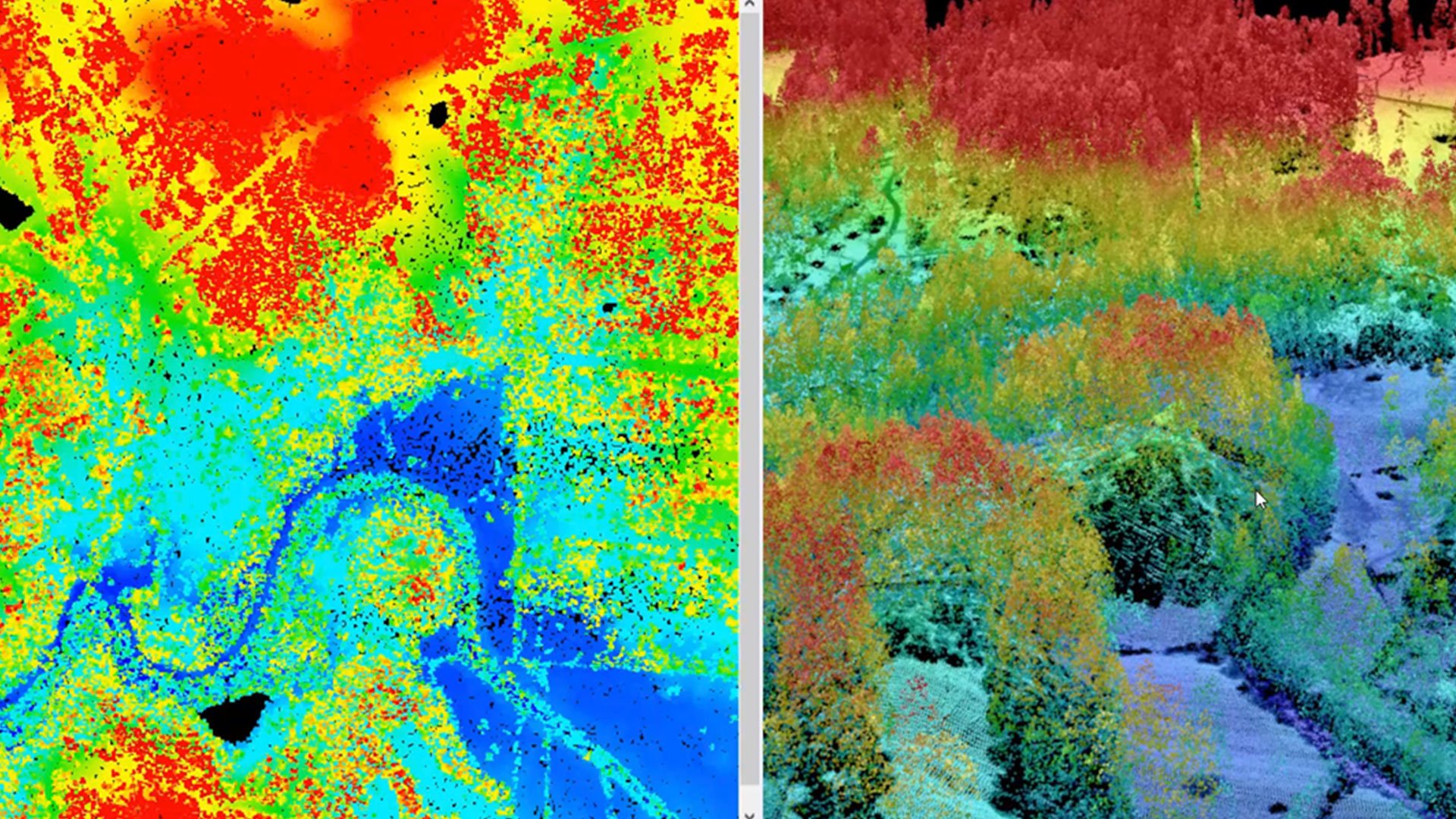
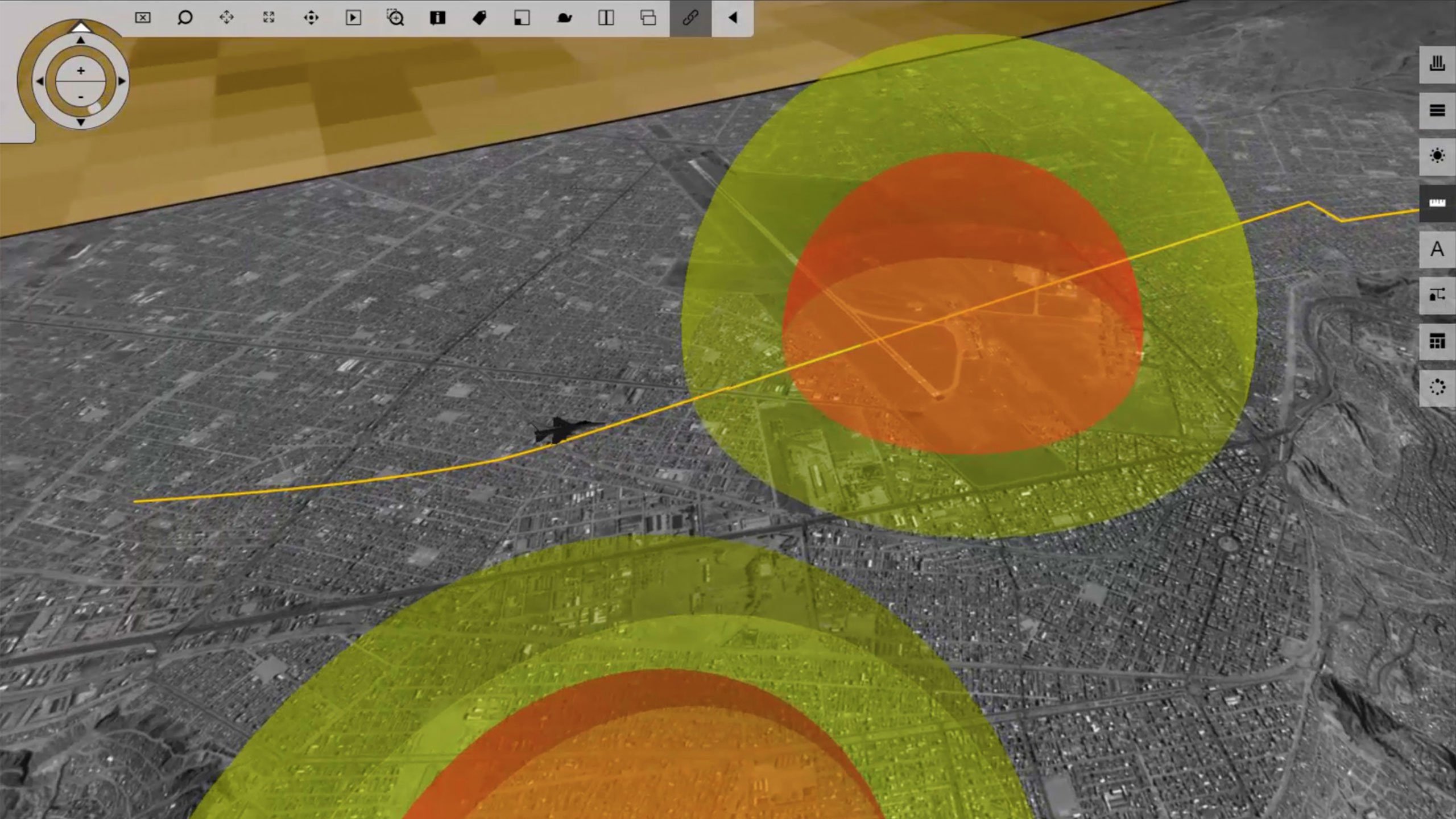
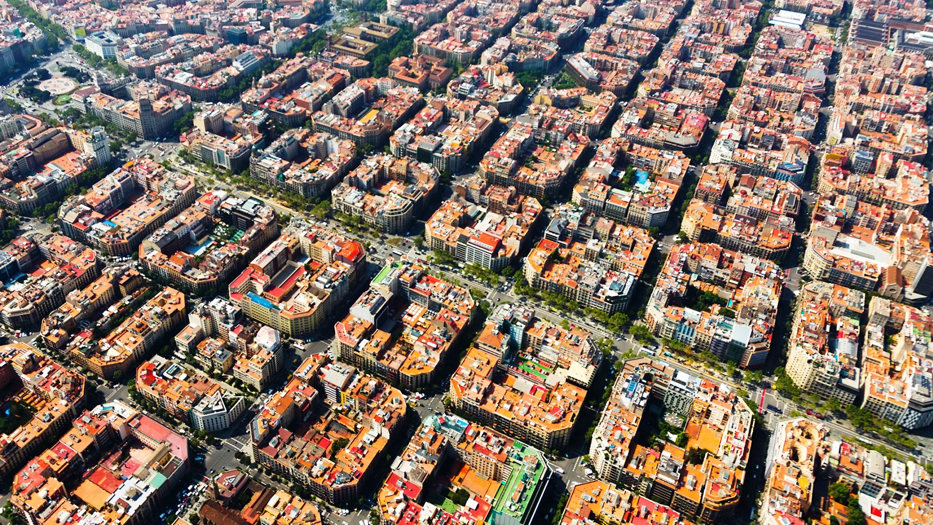
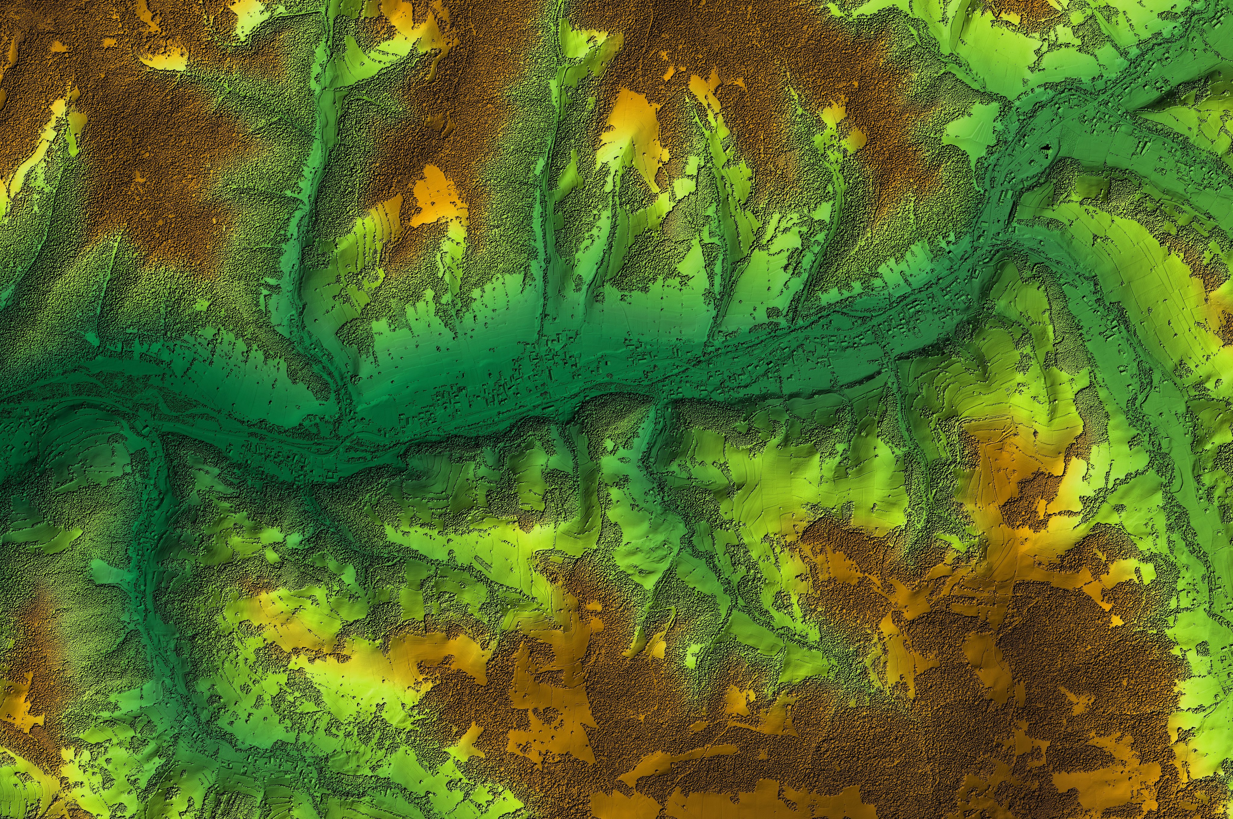
Unlock a versatile set of geospatial analysis tools designed for terrain analysis, surface modeling and immersive 3D visualization.
Efficient workflows
Enhance productivity and save time with the software's intuitive interface and automation capabilities, streamlining your workflows effortlessly.
Extensive support for diverse data formats
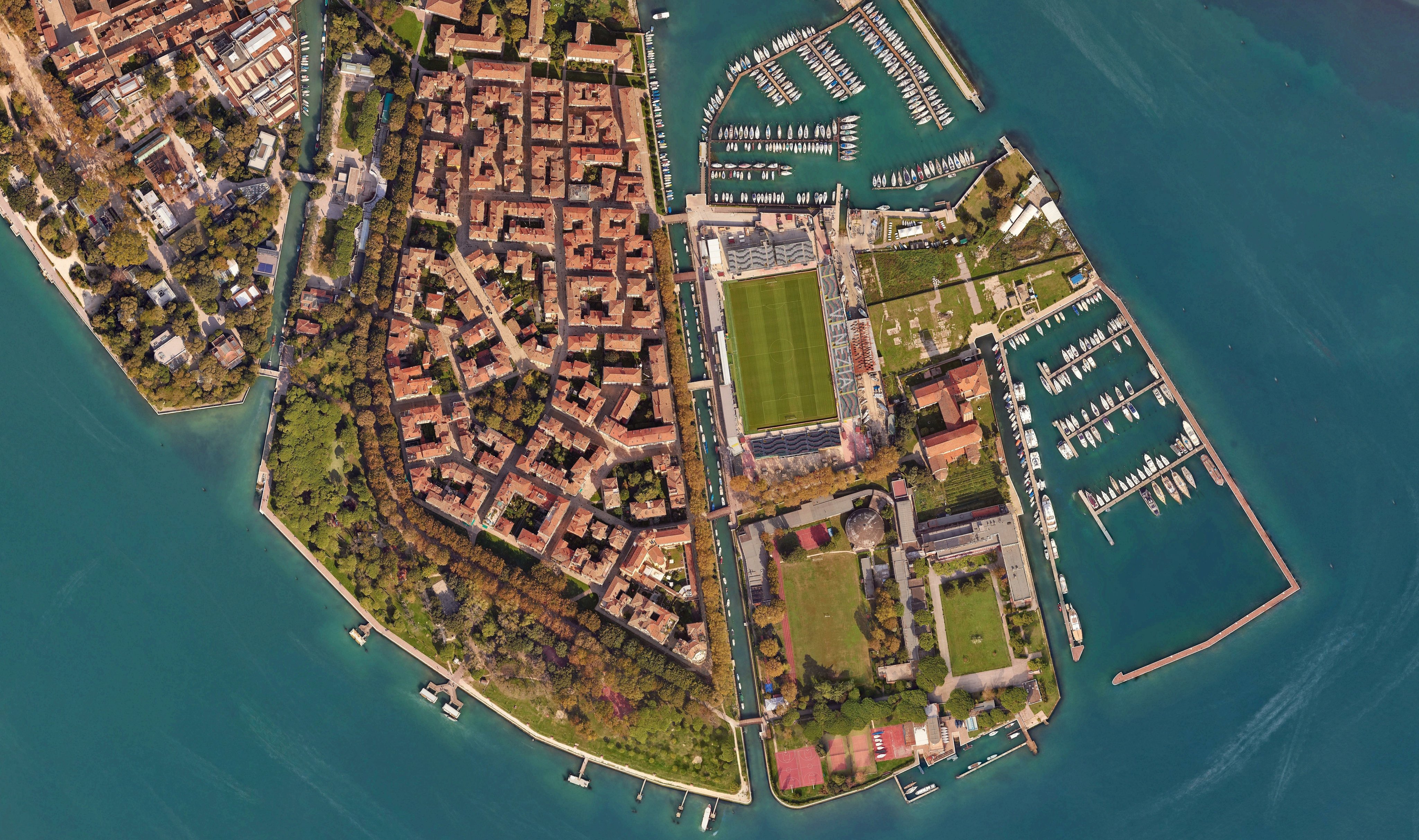
Work with a wide variety of data formats, including satellite imagery, aerial photography, LiDAR and more.

Active community and support
Benefit from a robust community of users and Octave's dedicated support team, offering invaluable resources and assistance.
Interoperability with other Octave products
Imagine integrates seamlessly with other Octave geospatial products, delivering a comprehensive and efficient geospatial workflow.
Explore the Imagine portfolio
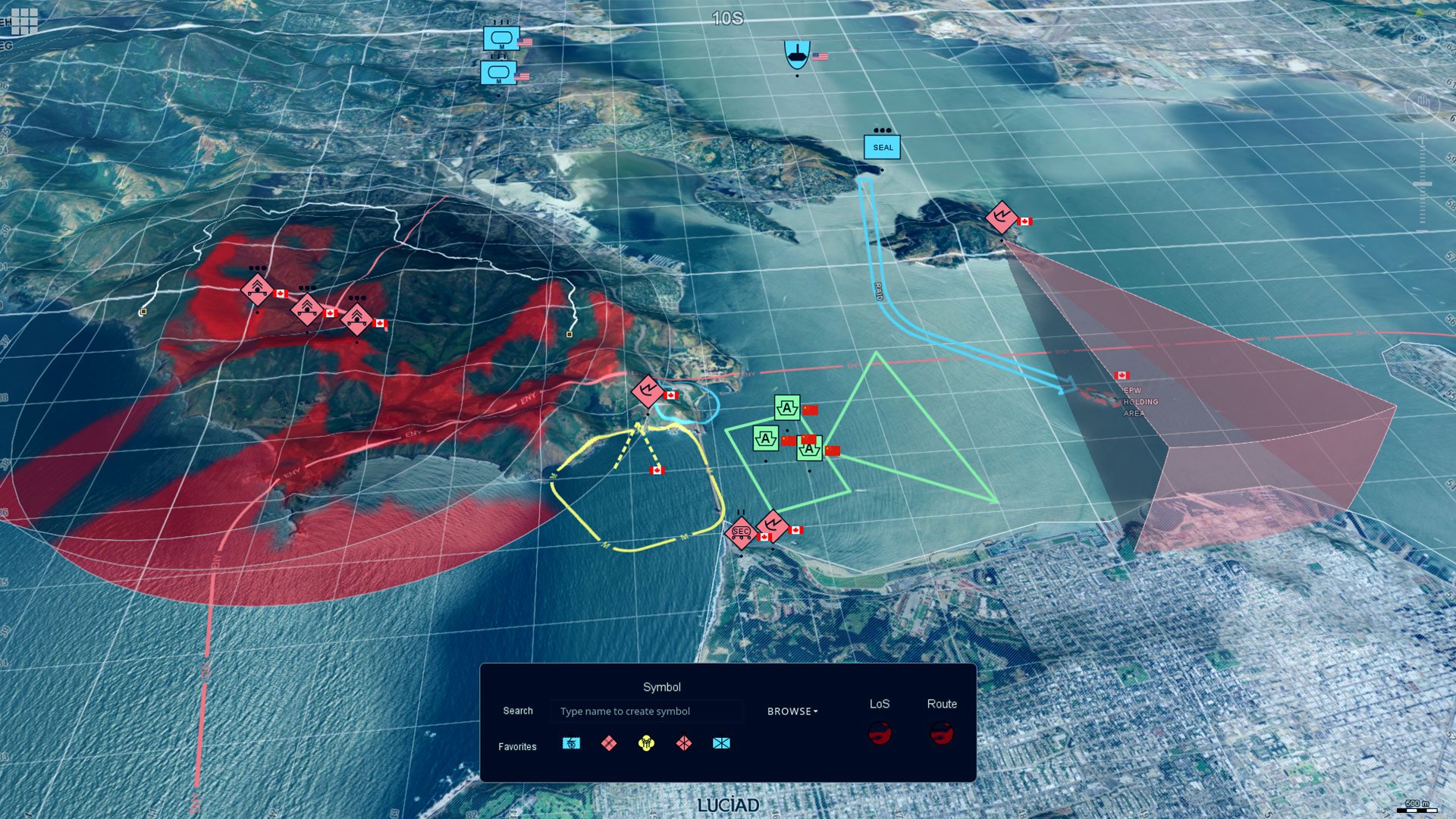
Imagine is the world’s most widely used remote sensing software. Multiple add-ons are available. The portfolio includes solutions like Octave Imagine Web for imagery exploitation in defence; Octave Pro600 for production mapping optimization; Octave ECW Compression and Octave GeoCompressor for advanced image and point cloud compression; and Octave Spatial Modeler for no-code geospatial workflows with AI and automation.

Erweitern Sie Imagine mit Add-ons
Passen Sie Imagine mit bewährten Add-ons an Ihre Workflows an. Von hochpräziser Photogrammetrie und der Erfassung dichter Oberflächen bis hin zu Radaranalysen, 3D-Visualisierung und Low-Code-Automatisierung. Jedes Modul lässt sich nahtlos integrieren, sodass Sie schneller Ergebnisse liefern können, ohne zwischen verschiedenen Tools wechseln oder Datenflüsse neu aufbauen zu müssen.
Imagine Photogrammetry liefert schnelle, genaue Triangulation und saubere orthographische Ergebnisse für Bilddaten.
Imagine Objective identifiziert und extrahiert automatisch Merkmale wie Gebäude, Straßen und Vegetation aus Bilddaten.
Imagine SAR Interferometry extrahiert präzise Höhen- und Oberflächenbewegungsdaten aus multitemporalen Radarbildern.
Imagine SAR-Merkmalsextraktion leitet automatisch Merkmale und Informationen aus Radardaten ab.
Imagine DSM Extractor erzeugt dichte, präzise DSMs und DTMs mit automatisierten Prüfungen und Berichten.
Imagine MrSID Encoders komprimiert große Bilddateien in hochwertige MrSID-Formate für schnelle Visualisierung und einfaches Speichern.
Imagine Expansion Pack fügt 3D-Ansichten, NITF-Tools, Stereoaufnahme, Registrierung und Radarverarbeitung hinzu.
Imagine Terrain Editor bietet interaktive Werkzeuge zur Bearbeitung und Verfeinerung digitaler Höhenmodelle direkt in einer 3D-Umgebung.
Spatial Modeler SDK erweitert Imagine mit benutzerdefinierten Operatoren, Automatisierung und KI-gestützter Modellierung.
ATCOR workflow for Imagine corrects atmospheric effects and haze to reveal true surface reflectance in satellite imagery.
Imagine Engine skaliert die Rechenleistung, indem intensive Aufgaben auf mehrere Kerne und Workstations verteilt werden.
Erfolgsgeschichten aus der Praxis
Gestalten Sie die Zukunft Ihrer Organisation
Wir helfen Ihnen weiter
Mit direktem Zugriff auf Support und umfassende Ressourcen erhalten Sie jederzeit schnelle, zuverlässige Unterstützung.